Advancing Global Remote Sensing Services
Remote sensing technology has come a long way in the past few decades and is now being used for a wide variety of applications across different industries globally.
 CoherentMI86
Emergence of Commercial Satellite Imagery
The commercialization of satellite imagery in the 1990s marked a turning point for the remote sensing industry. Prior to this, satellite data was largely restricted for defense and military uses by governments. However, the emergence of private remote sensing companies launching their own imaging satellites made high resolution satellite imagery openly available to a much wider user base at affordable costs.
Companies like DigitalGlobe, Planet Labs and BlackSky now operate large fleets of imaging satellites that can revisit locations daily and provide imagery at sub-meter resolution globally. This democratization of remote sensing data has fueled new commercial applications as well as research in many domains.
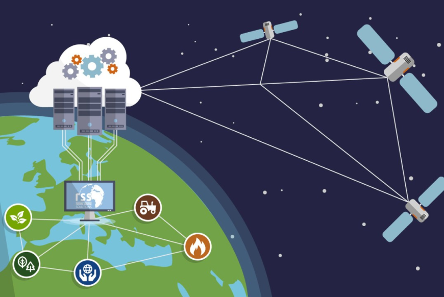
Operational Monitoring Services Expand
Leveraging the availability of frequent satellite imagery, operational monitoring services have expanded greatly over the past decade to address needs across numerous industries. For example, mapping and GIS companies now offer services to automatically detect changes for infrastructure and construction projects using time-series satellite imagery analysis. Agriculture sector uses satellite-based monitoring for crop health, irrigation management and insurance claims.
Energy and utility firms track oil and gas assets, solar farms and power transmission lines remotely. Other applications include disaster response, environmental monitoring, urban planning and maritime domain awareness. Advanced analytic capabilities like machine learning are further enhancing the value derived from these continuous monitoring services.
Remote sensing technology - https://www.coherentmi.com/blog/advancing-global-remote-sensing-services-60